


Monday
Aug052013
National Atlas Streamer Map
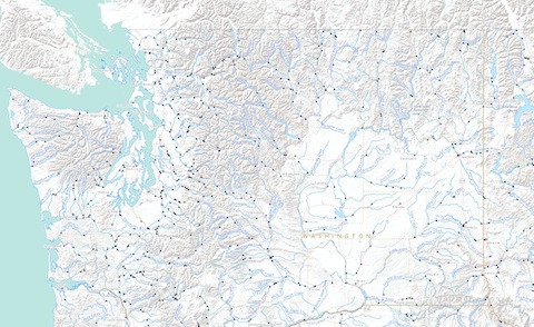
A new U.S. Geological Survey interactive map lets viewers trace the nation’s waterways – both where they go and where they come from.
With the National Atlas Streamer map you can explore our Nation's major streams by tracing upstream to their source or downstream to where they empty. In addition to making maps, Streamer creates reports about your stream traces and the places they pass through.
LINK (via:The Missoulian)
tagged  USGS, maps, streamer map, take me to the river in News, Rivers
News, Rivers